Artificial intelligence applied to satellite imagery can help detect changes in mangroves, identify the causes of forest loss, or create agricultural maps at a national scale. But working with hundreds of thousands of square kilometers also involves a very concrete problem: computational cost.
The Allen Institute for AI introduced OlmoEarth v1.1, a new family of remote-sensing models that reduces compute consumption by up to three times compared with OlmoEarth v1, without sacrificing its overall performance across different benchmarks and tasks developed with partner organizations.
Less compute to observe more territory
From the initial processing of data to inference and postprocessing, running models on satellite imagery requires a large amount of resources. In national, continental, or global deployments, that bill can determine which projects are viable and which ones have to wait.
OlmoEarth v1.1 aims to address part of that challenge. According to Ai2, the models in the new family can run with up to one-third of the compute used by OlmoEarth v1. This can speed up specialized adjustment, known as fine-tuning, as well as the generation of predictions during inference.
What does that mean in practice? Updating a global crop map more frequently or monitoring the evolution of a forested area could require less time and budget.
The key is reducing tokens
OlmoEarth uses an architecture based on transformers. For the model to analyze satellite imagery, the data is first converted into a sequence of units called tokens.
A token can be understood as a compact representation of part of the input information. In the case of Sentinel-2, that input contains spatial dimensions, temporal information, and 12 spectral channels. In addition, the images are organized at different resolutions: 10, 20, and 60 meters.
In OlmoEarth v1, each spatial fragment generated a separate token for each time point and resolution. For example, an image with two time points could produce six tokens per patch: two time points multiplied by three resolutions.
The total number grew according to the formula H/p x W/p x T x 3, where H and W represent the image dimensions, p the patch size, and T the number of observed time points.
A small change with quadratic impact
In transformers, the computational cost of attention usually grows quadratically with the length of the sequence. Put simply: if you double the number of tokens, the work does not necessarily double; it can grow much more.
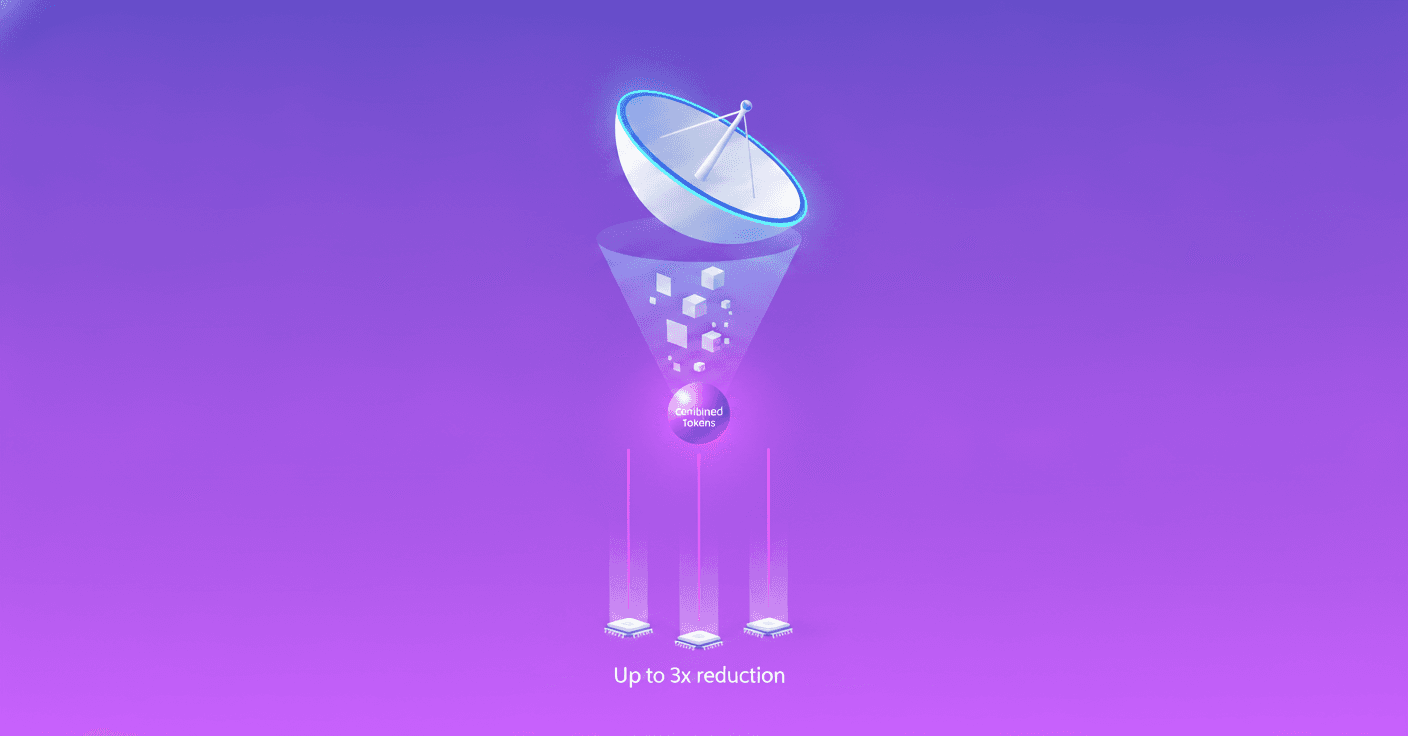
That is why combining information from the three resolutions into a single token makes it possible to reduce the sequence by up to three times. The savings apply during pretraining, specialized adjustment, and inference.
But there was a risk. The resolutions contain important relationships between spectral bands, and an overly direct combination caused a significant drop in performance. In an m-eurosat kNN test, for example, the naive approach produced a loss of 10 percentage points.
The solution was not simply to join tokens. Ai2 also modified the pretraining regime so the model could learn to preserve relationships between bands within a more compact representation. The methodological details are presented in the project's technical paper.
A family for different budgets
OlmoEarth v1.1 will be available in different sizes, including the Base, Tiny, and Nano models. This variety makes it possible to choose an alternative based on compute budget, expected latency, and project scale.
For a team that already uses OlmoEarth v1, the recommendation is to test the new version on its specific task. Overall performance is similar, although Ai2 warns that there are some regressions in certain scenarios.
The clearest advantage appears when frequent runs are needed. A cheaper model can make it easier to update maps regularly, experiment with more configurations, and deploy projects that were previously too expensive.
Why it also matters to researchers
Remote-sensing models have many variables: architecture, dataset, resolution, tokenization strategy, and pretraining method. When performance changes, it is not always easy to know which of these elements was responsible.
To make a more controlled comparison, Ai2 trained OlmoEarth v1.1 using the same dataset used for OlmoEarth v1. This way, the differences can be attributed mainly to methodological changes related to efficiency.
This approach helps explore a fundamental question: how can you train a satellite-imagery model that retains its capabilities while using fewer resources? The answer does not only affect large laboratories. It could also open the door to universities, environmental organizations, and small teams that do not have enormous infrastructure budgets.
Planetary AI with a lower barrier to entry
OlmoEarth v1.1 shows that making a model more efficient does not simply mean reducing its size. It also involves rethinking how information is represented and how the system is trained so compression does not destroy relevant signals.
If the new version maintains competitive results with a fraction of the compute, the impact could be felt throughout the entire workflow: from training to updating maps at a planetary scale. Artificial intelligence for observing Earth does not become magical, but it does become a little more accessible, faster, and more sustainable.