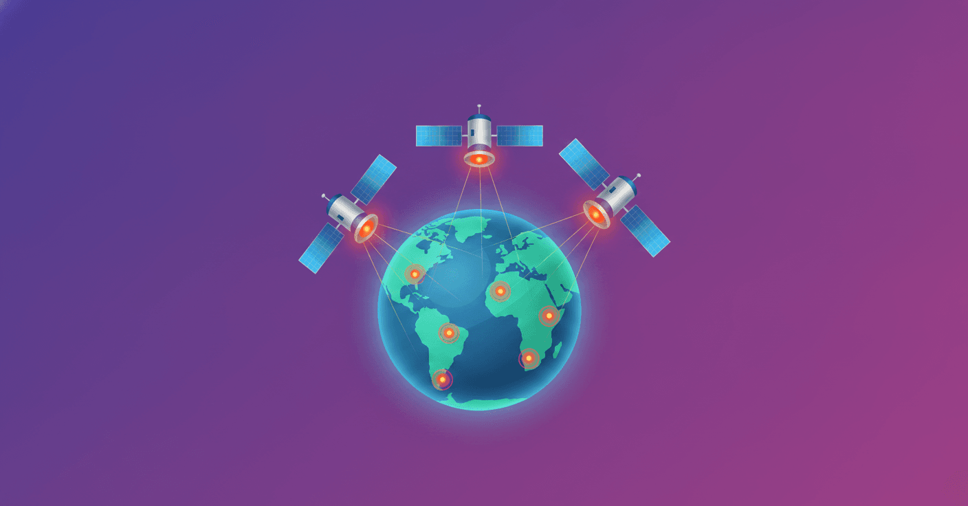
Wildfires can grow for hours before anyone detects them. FireSat aims to change that response window: three new satellites joined the network after launching from Vandenberg Space Force Base in California.
The initiative, led by the nonprofit Earth Fire Alliance, brings together Google Research, manufacturer Muon Space, wildfire specialists, and philanthropic organizations. The goal is to build a constellation capable of providing more frequent and useful monitoring for emergency agencies.
A network designed to detect small fires
The new launch expands on work that began last year, when FireSat’s pilot satellite reached orbit. That mission showed that the sensor architecture could identify fires in their early stages, even when they were too small or faint for existing satellites to detect.
According to the project, the system can detect hotspots as small as 5 by 5 meters. To picture that, it is an area roughly the size of a small room. Detecting a fire at that point can make the difference between a contained response and a large-scale emergency.
The three new satellites use the architecture already tested by the pilot satellite. By increasing the number of units in orbit, FireSat aims to move closer to continuous coverage—something essential if response teams are not to depend on a single image captured every several hours.
Where does artificial intelligence fit in?
AI does not put out fires or replace firefighters. Its role is to analyze large volumes of data captured from space and help identify signals consistent with a fire, such as temperature changes and unusual patterns on the surface.
Instead of waiting for a column of smoke to become visible or for someone to report the incident, a system like this can serve as an early warning. Agencies can then verify the alert, prioritize resources, and decide what response to send.
The value of AI here is not in putting on a spectacular demonstration, but in gaining time when every minute counts.
A joint effort against climate risk
FireSat also reflects an important trend in climate technology development. The solution does not come from a single company, but from collaboration among researchers, nonprofits, satellite manufacturers, wildfire experts, and funders.
Google.org has contributed more than 15 million dollars to support the deployment of the first satellites. The investment aims to launch a constellation and, at the same time, create a global dataset on wildfires that can improve research and response tools.
The network will still need to expand, its alerts must be validated in different regions, and the information must reach local authorities quickly. But the launch of these three satellites represents a concrete step: artificial intelligence is beginning to work alongside space-based sensors to address a problem already affecting communities around the world.
The question is not whether AI can solve wildfires on its own. It cannot. The more useful question is whether it can help detect them earlier, give decision-makers better information, and reduce wasted time. That is precisely what FireSat is betting on.
Original source
https://blog.google/innovation-and-ai/models-and-research/google-research/firesat-satellites